Precision UAV SolutionsExperience unparalleled mapping solutions with our advanced UAV technology. We specialize in delivering accurate, high-resolution aerial data for construction, engineering, and surveying projects. Let us transform how you visualize your site. Drone Mapping SolutionsAt UAV Mapping Service, we focus on delivering precise drone mapping solutions tailored for the construction and engineering sectors. Our mission is to enhance project efficiency and accuracy through advanced aerial data collection. Utilizing state-of-the-art technology, we provide detailed mapping services that assist in planning and monitoring construction projects. Our skilled team ensures high-quality results that meet industry standards. By integrating the latest tools, we strive to offer competitive advantages that improve project outcomes and decision-making. 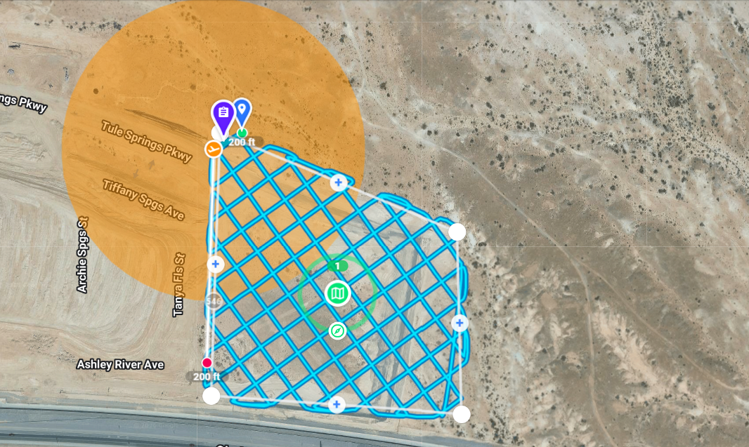
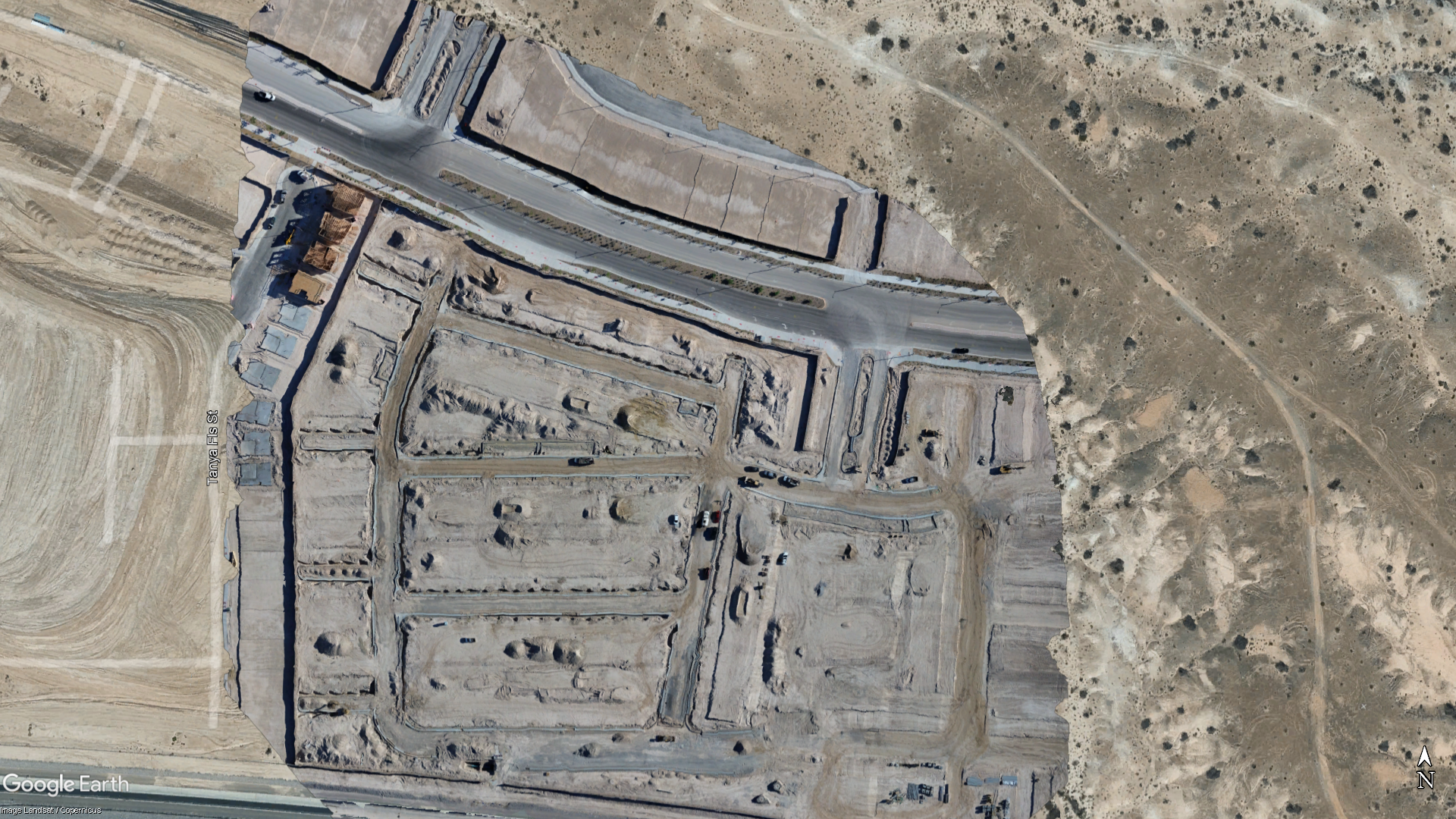
Transforming Data into InsightsWhy Choose Our Drone Mapping Services?
Our drone mapping services enhance project efficiency, accuracy, and affordability. Discover how we can streamline your workflows.
01PrecisionUtilizing advanced technology, we provide accurate mapping that minimizes errors and maximizes results. 02EfficiencyOur rapid data collection methods save you valuable time, allowing for quicker project turnaround. 03Cost-EffectivenessReduce project costs with our efficient drone solutions while receiving high-quality results. Get in Touch for a Free ConsultationIf you’re ready to elevate your projects with precision UAV mapping, we are here to assist you. Our team is dedicated to providing tailored solutions to meet your needs in construction, engineering, and surveying. Contact us today to learn more or schedule a consultation to explore how our services can help you achieve your goals. Common QuestionsWe understand that you may have questions. Here are some of the most frequently asked about our UAV mapping services.UAV mapping refers to the use of drones equipped with cameras and sensors to capture detailed aerial imagery and data. This technology enhances surveying and mapping processes, allowing for greater accuracy and efficiency on construction and engineering projects. The timeline for UAV mapping projects can vary depending on the project’s size and complexity. Generally, we provide initial data within a few days of flight, while comprehensive analysis and reporting may span from one to four weeks, depending on the specific requirements. We utilize state-of-the-art UAVs equipped with high-resolution cameras and surveying tools to gather precise data. Our software for data processing ensures accuracy and helps create detailed 2D and 3D representations of the surveyed areas. Yes, we take data security seriously. All data captured is stored securely, and we follow industry standards to ensure client confidentiality and data integrity throughout the mapping process. Absolutely! We offer demonstrations of our UAV mapping services to showcase our capabilities. Please contact us to schedule a time for a demo tailored to your specific interests and needs. |